One operational picture. Every domain.

Connect cross-domain activity. Reveal the bigger picture. Understand what’s happening, end to end.

Land

Understand what’s happening on the ground.

Ground activity across large and complex areas can be difficult to interpret in isolation. Quori connects activity, reveals emerging patterns, and identifies areas of increasing risk to help teams understand changing conditions and prioritise resources where they matter most. This enables earlier intervention, more effective asset protection, and better-informed operational decisions.

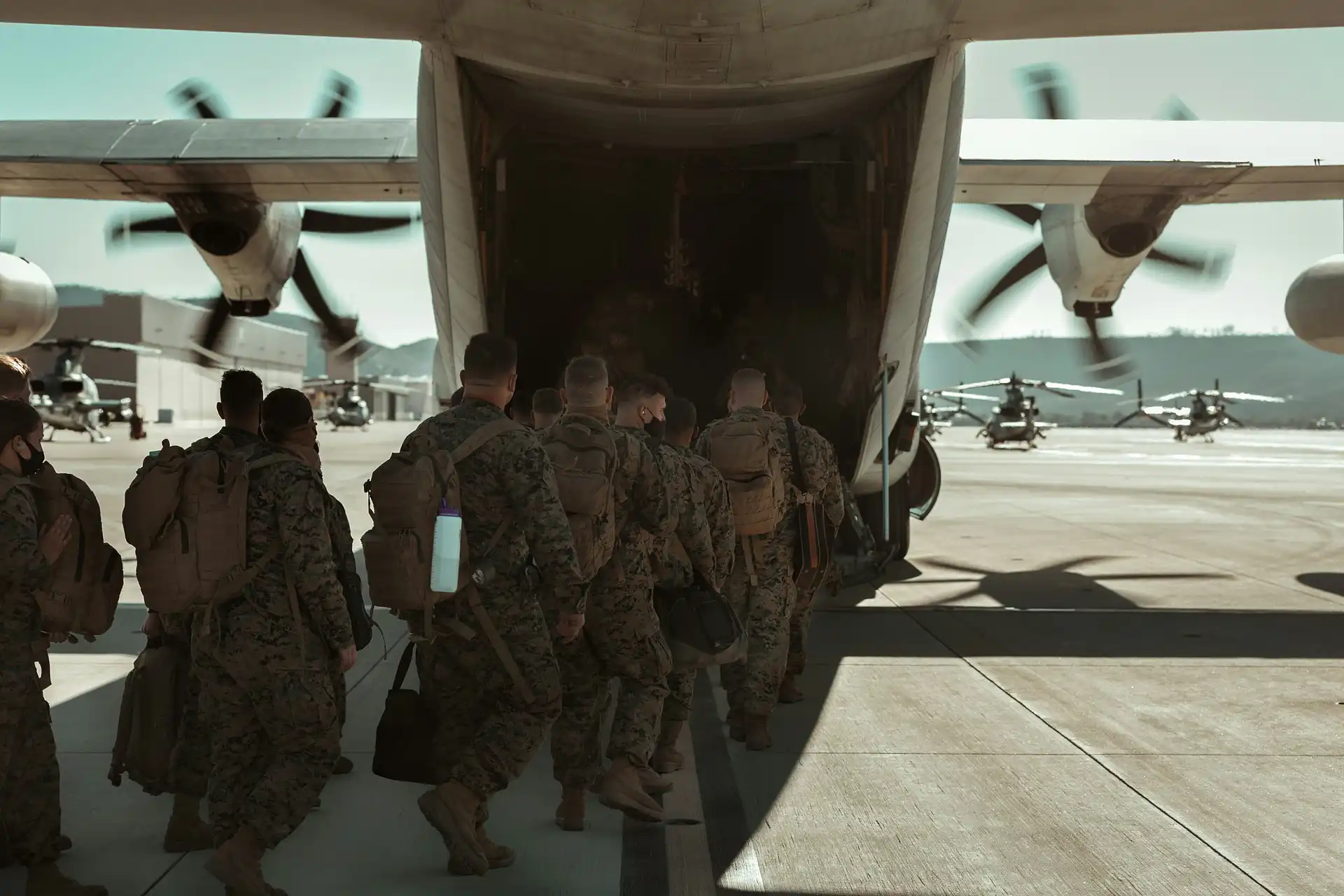
A group of soldiers in camouflage uniforms with rucksacks walk in a line towards the open ramp of a military transport aeroplane, preparing to leave the familiar land that has long been their domain on the airfield.
Sea

Connect maritime activity. Anticipate what comes next.

Maritime activity is complex, dispersed, and constantly evolving. Quori brings together relevant signals to reveal changes in behaviour, uncover emerging patterns, and identify areas of potential risk. Build a clearer operational picture and give decision-makers more time to assess, prepare, and respond.

Aerial view of a large cargo ship commanding its domain on deep teal sea water, with a smaller boat next to it. The ship’s decks and containers are visible, and its wake is seen at the stern.
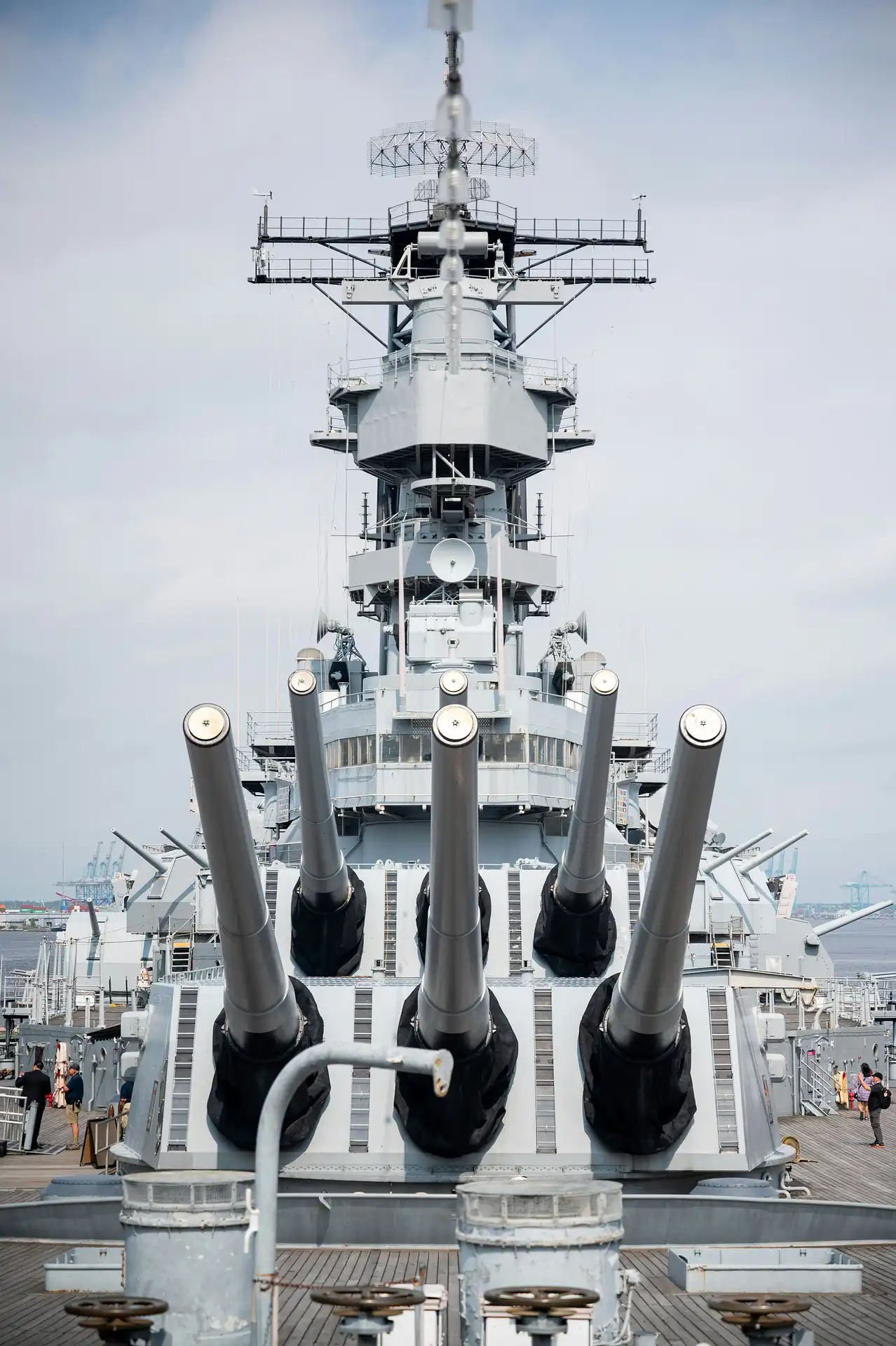
A close-up view of a large battleship’s main guns and superstructure, dominating the sea domain, with five long gun barrels pointed forward and various aerials and radar equipment visible above.
Air

Detect threats across the air domain.

From routine operations to emerging threats, activity in the air can signal changes in the wider operational environment. Quori helps teams detect and assess drone activity, potential strikes, and other significant events, connecting airborne activity with broader operational signals. This enables earlier warning, faster assessment, and more informed decision-making.

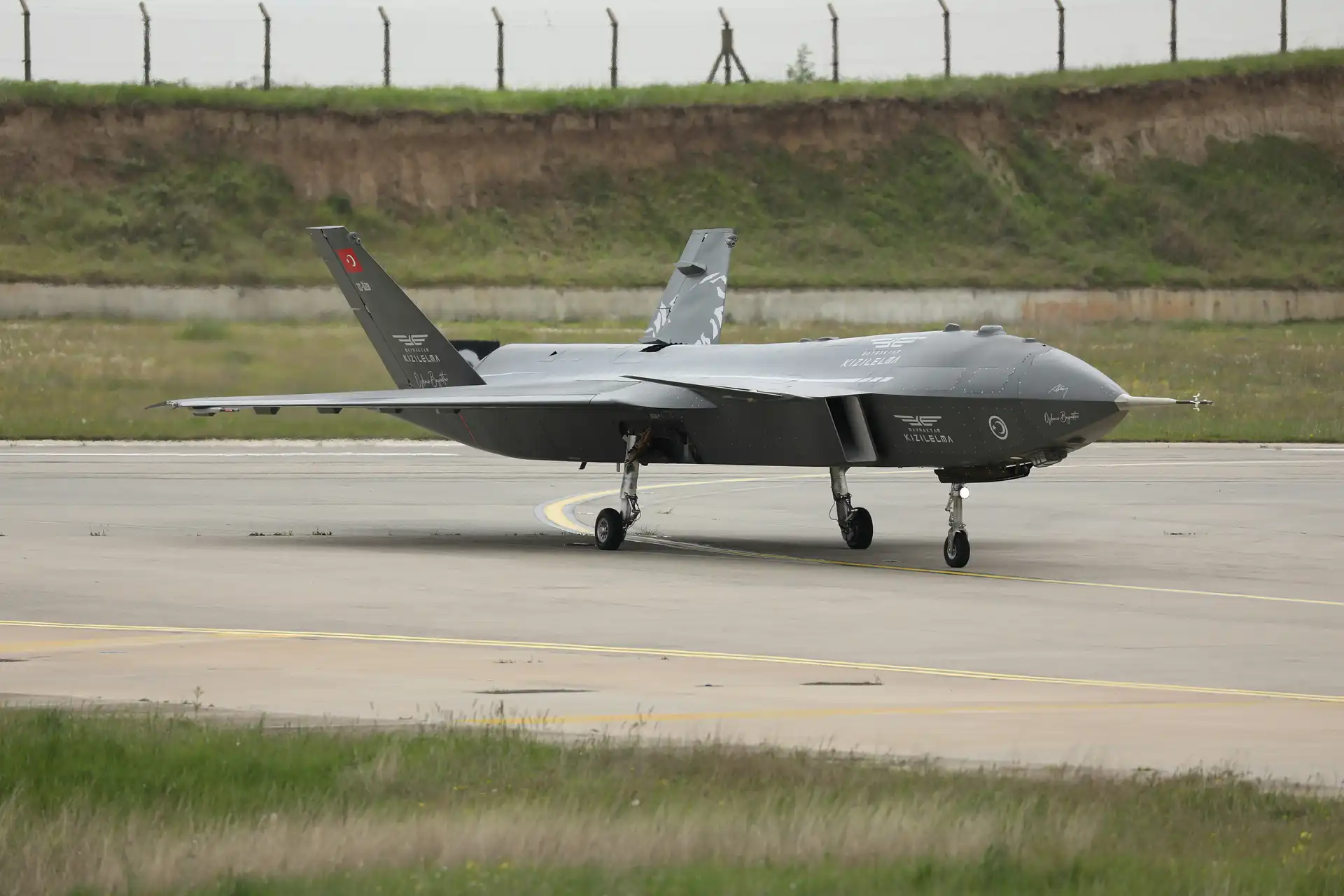
A large military drone with Turkish markings taxis on a runway, commanding the air domain, surrounded by grass, with a fence and earth embankment in the background under a cloudy sky.

See tomorrow’s risks. Take action today.

Q-OIS forecasts where risk is likely to emerge over the next 24 hours, giving teams an early advantage in prioritising resources, preparing responses, and preventing incidents before they unfold.

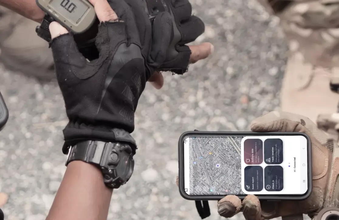
Two people in tactical gloves hold devices: one shows a digital screen with numbers, the other displays a smartphone presenting a map and app interface—essential tools for operational intelligence. The background is gravel or rocky ground.