
OUR WORK
Real-world challenges. Measurable operational impact.
From national security and extractive operations to critical infrastructure and asset protection, Quori turns complex operational data into actionable intelligence. Identify emerging risks, direct resources where they matter most, and make informed decisions that strengthen readiness and improve operational outcomes.
PREDICTIVE INTELLIGENCE
Predicting risk to protect national assets.
Client sector: Extractives Sector, Government, Security and Law Enforcement
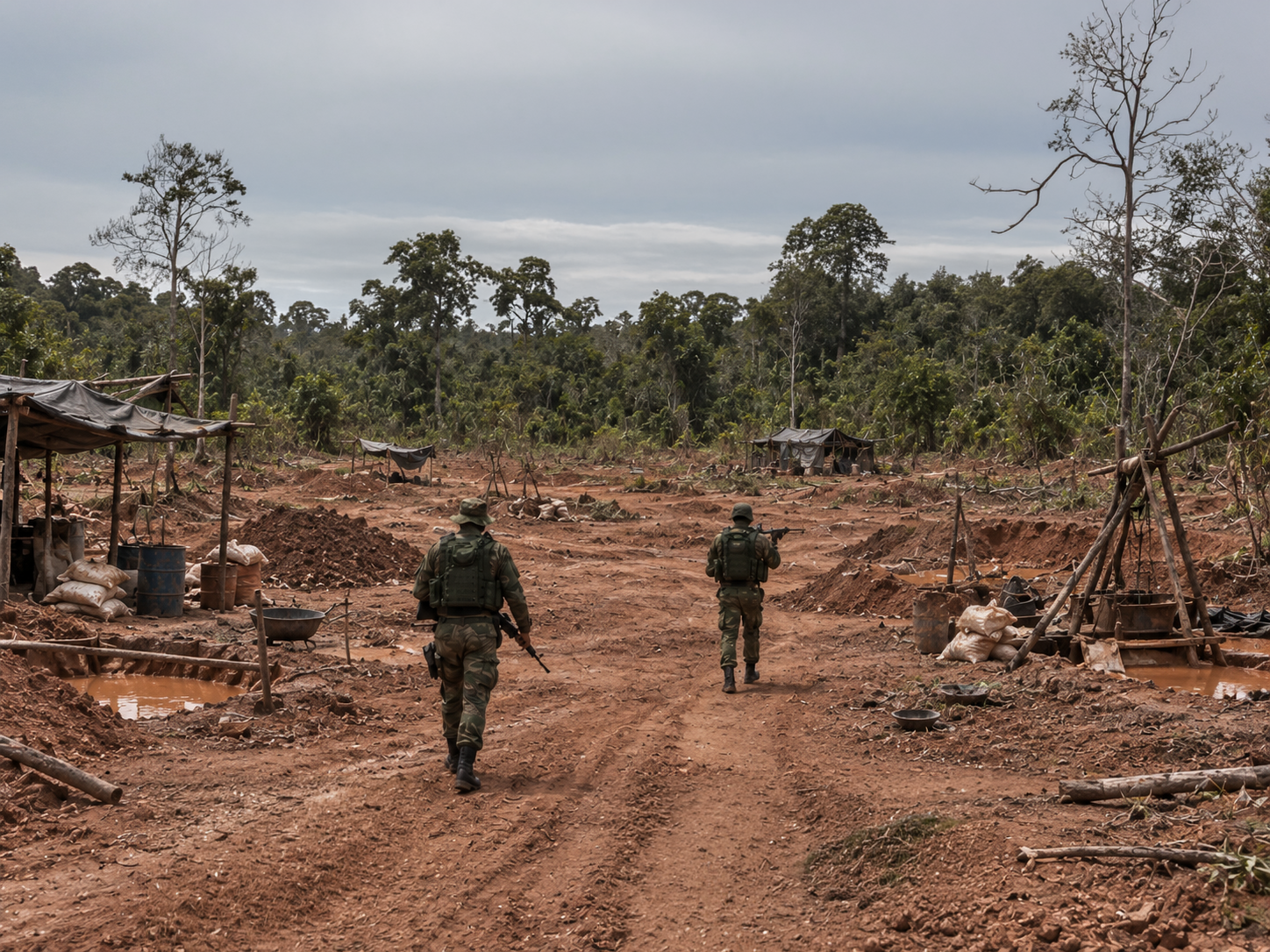
Challenge: Illegal resource exploitation and smuggling posed significant security, economic, and environmental risks across several East African nations. Vast concession areas, porous borders, established criminal networks, and complex socioeconomic factors made it difficult to identify emerging threats, anticipate illegal activity, and coordinate effective security responses across large and challenging operating environments.
Solution: Q-OIS combined situational awareness and intelligence fusion to predict high-risk areas up to 24 hours in advance, enabling security forces to deploy resources proactively and target criminal networks more effectively. Insights derived from subsequent data collection also supported coordinated interventions addressing the wider social and operational factors contributing to illegal activity.
0%+
Reduction in illegal activity over 12 months
MARITIME DOMAIN AWARENESS
Turning maritime data into operational insight.
Client Sector: Defence
Challenge: In complex maritime environments, vessels disable AIS, spoof their identity or location, conduct ship-to-ship transfers away from ports, threaten undersea infrastructure, or attempt to blend into legitimate traffic.
Solution: Q-OIS fuses multiple data sources to build a wider operational picture of vessel activity, supporting detection, classification, verification, attribution, and identification. The system combines cooperative and non-cooperative data sources, behavioural analytics, and fuses multiple sensors and open-source context, enabling decision advantage ranging from operational to strategic levels.

0M+
Configurable risk scenarios enable end users to track their strategic and operational priorities
SITUATIONAL AWARENESS
Supporting critical national infrastructure protection.
Client Sector: Defence
Challenge: Threat indicators, incident reports, and unstructured data made it difficult to rapidly fuse information and identify emerging risks. Analysts faced a significant reporting burden, limiting their ability to develop timely situational awareness and assess threats to critical national infrastructure.
Solution: Q-OIS identified an increase in risk levels and provided early warning days before violent protests targeting critical national infrastructure erupted. This enabled operations to issue timely alerts, implement proactive risk mitigation measures, and take steps to protect personnel and critical assets ahead of time.
0%+
Increase in reporting
ENVIRONMENTAL MONITORING
Measuring reforestation impact with greater confidence.
Client Sector: International Development
Challenge: Traditional field surveys for monitoring reforestation are resource-intensive and difficult to scale. While satellite-based Normalised Difference Vegetation Index (NDVI) analysis provides valuable insights into vegetation health, it cannot reliably distinguish planted trees from other vegetation or independently establish tree survivability. This limited the ability to assess reforestation outcomes accurately and efficiently.
Solution: Quori combined structured field data with satellite imagery to deliver a more accurate and efficient approach to reforestation monitoring. By integrating ground-level observations with remote sensing data, the solution improved visibility into tree survivability across three monitored compartments. In 2025, survivability rates ranged from 80.35% to 88%, demonstrating the potential for more consistent, data-driven, and scalable environmental monitoring.

0%
Improvement in operational effectiveness and monitoring efficiency
BORDER SECURITY
Anticipating cross-border threats to strength security.
Client Sector: Defence and Law Enforcement
Challenge: Long, porous borders and cross-border movements create complex security challenges. Similarities between neighbouring populations, combined with limited visibility across remote border regions and evolving patterns of cross-border activity, make it difficult to distinguish routine movements from emerging threats. This limits the ability of security forces to anticipate incidents, identify high-risk areas, and deploy resources proactively.
Solution: Quori fused multiple sources of information to identify high-risk areas for cross-border violence and security incidents. Initial predictions achieved 70% accuracy. After one month of operational use, all Quori predictions reportedly fell within 5 km of an incident, with more than 70% of incidents occurring directly within areas identified by Quori as high risk. These insights supported improved situational awareness and more targeted security planning across the defined operational area.

0%
Accuracy predicting incidents within a defined operational area
Ready for mission deployment.
Whatever the mission, environment and priorities, Q-OIS is on standby.